Services - Planning and Analysis
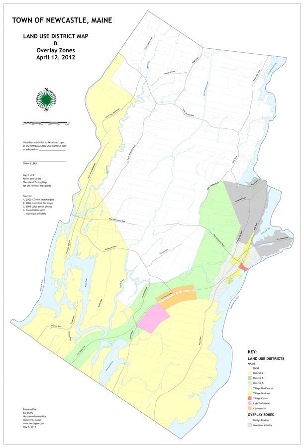
Northern Geomantics has much experience working with town managers, planning boards, conservation commissions and land trusts to develop town and regional zoning maps, open space plans, and other land use planning maps to help direct development and preserve resources. NorthGeo has provided GIS analysis capability for the siting of off-shore wind turbines, potential pipeline routes and the mapping of contaminant plumes from leaking underground storage tanks. We have also developed GIS models and algorithms to evaluate wildlife habitat and the impacts of potential development on natural resources, traffic flow and runoff. Click on the thumbnails to the right to see some examples of recent planning and analysis projects.


Copyright Northern Geomantics, 2013